Climate & Geography

The climatic zones of Burkina Faso

Burkina Faso has a tropical climate of the Sudano-Sahelian type, characterised by considerable rainfall variations from an average of 350 mm in the north to more than 1,000 mm in the south-west, with two very contrasting seasons: a rainy season which lasts about 4 months and runs from May-June to September; its duration is shorter in the north of the country, with rainfall ranging from 300 mm to 1,200 mm. A dry season during which the Harmattan, a hot and dry wind from the Sahara, blows.
There are three main climatic zones: the Sudanian zone in the south, the Sudano-Sahelian zone which extends from east to west and the Sahelian zone in the north. The Sudano-Sahelian zone is much larger than the other two climatic zones and has a dry tropical climate with both Saharan and humid tropical influences.

The Sahelian zone in the north

La zone Sahelienne

The Sahelian zone in the north is the driest zone with annual rainfall varying between 400 and 600 mm. The thermal amplitude is high, during the dry season it can last more than 9 months and temperatures vary between 15°C at night and 45°C during the day.

The Sudano-Sahelian zone
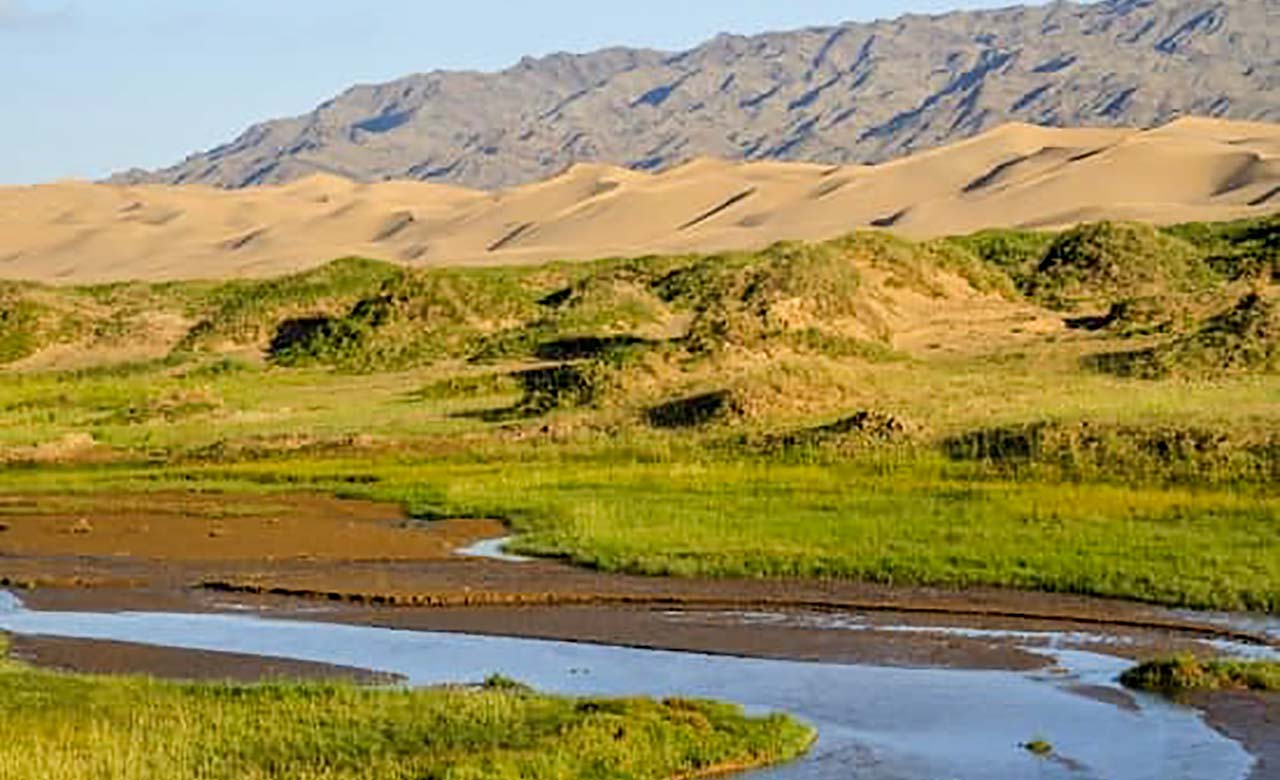
La zone soudano-sahélienne

In the Sudano-Sahelian zone, annual rainfall is higher and varies between 600 and 700 mm. The dry season lasts no more than 8 months and temperatures are around 48°C in the middle of the dry season and 23°C during the rainy season.

The Sudano-Guinean zone

La zone soudano-guinéenne

Located in the southern part of the country, rainfall is the most abundant, with around 1,100 mm of annual rainfall. The thermal amplitude is less pronounced during the dry season, with temperatures ranging from 28°C at night to 41°C during the day.

Geography of Burkina Faso

Geographie du Burkina Faso
Located in West Africa, Burkina Faso has a population of approximately 20,870,060 (2019) and covers an area of 274,200 km². Burkina Faso is divided into 45 provinces grouped into the 13 regions. Each of the provinces is divided into several departments. Burkina Faso shares 3,193 km of land borders with its 6 neighbouring countries: Benin (306 km border), Côte d’Ivoire (584 km border), Ghana (549 km border), Mali (1,000 km border), Niger (628 km border) and Togo (126 km border).
The topography is generally low-lying and 80% of it consists of a peneplain with an average altitude rarely exceeding 300 metres. A distinction is made between the western and eastern peneplains. The western block is higher and more rugged, while the eastern block covers a larger area.
The lateritic rock layer overlying the underlying crystalline rocks is deeply incised by the three main rivers of the country: the Black Volta (Mouhoun), the Red Volta (Nazinon) and the White Volta (Nakambé), which all converge from Ghana to the south to form the Volta River. In the southwestern part of the country, around Banfora, there are plateaus bordered by escarpments that are about 150 metres high.
Burkina Faso is therefore a relatively flat country. Its extremes of elevation are the lowest point of the Mouhoun River (Volta Noire) at 200 m and the highest point of Tenakourou at 749 m. The average altitude is 400 metres and the difference between the highest and lowest ground does not exceed 600 metres. The country benefits from an important hydrographic network thanks to three basins: the Volta, Comoé and Niger basins. The Volta basin includes several rivers, the Mouhoun or Black Volta, the White Volta, the Red Volta and the Pendjari. The Comoé basin is located in the extreme south-west and the region enjoys a more humid climate with higher rainfall. The Niger basin is in the north-east and the flow of water depends on the rhythm of the seasons.